Digital Atmosphere
(WINDOWS 2000/XP)
Since 1996, Digital Atmosphere has been the premier weather analysis program
for Windows. It's a step above using prepackaged charts available on the
Internet. Roll your own and dig in, interactively, into surface, upper, and radar data.
Digital Atmosphere is a favorite among meteorologists, hobbyists, chasers, and pilots.
Learn about it
Download it (fully functional for 30 days)
Buy it! ($89 for Standard; $199 for Professional)
All examples obtained using free data from university and government servers
|
WORLDWIDE COVERAGE. View maps
for anywhere on Earth, from China to California; from the Arctic to Antarctica!
|
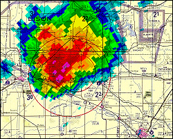
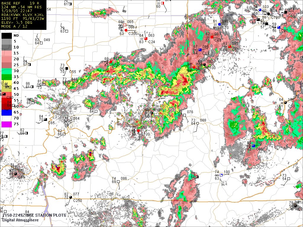
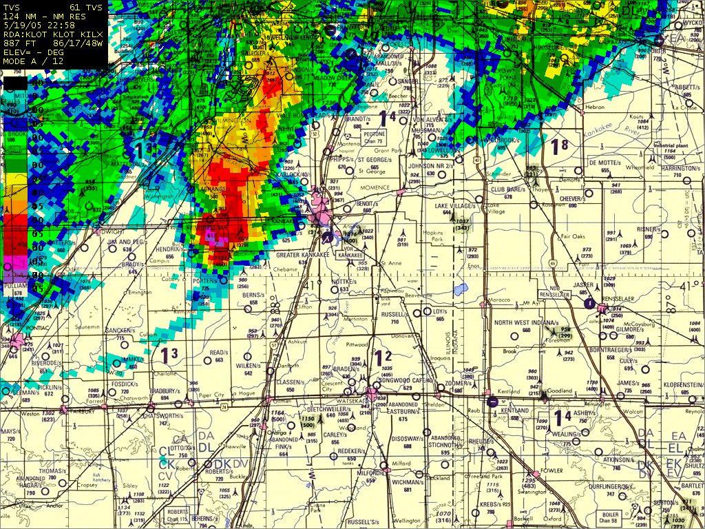
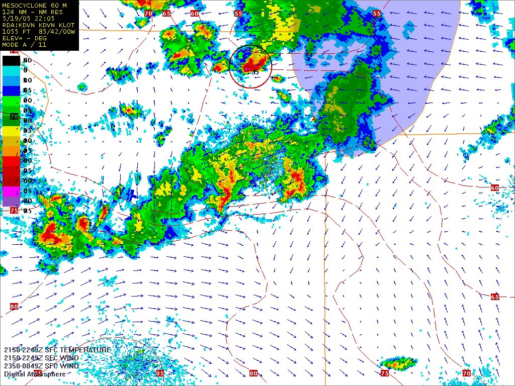
NEXRAD WSR-88D RADAR. Download free live
radar from government servers and display radar subsets (reflectivity,
velocity, spectrum width, and derived fields).
|
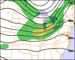
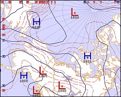
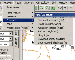
UPPER-LEVEL CHARTS. Roll your
own upper-level charts! You can go for standard plotted maps
or do artistic versions like this one.
|
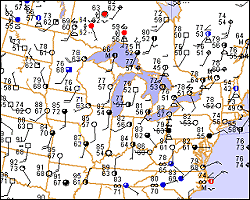
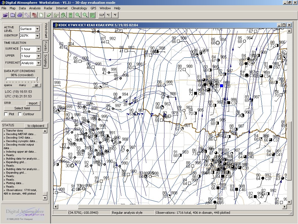
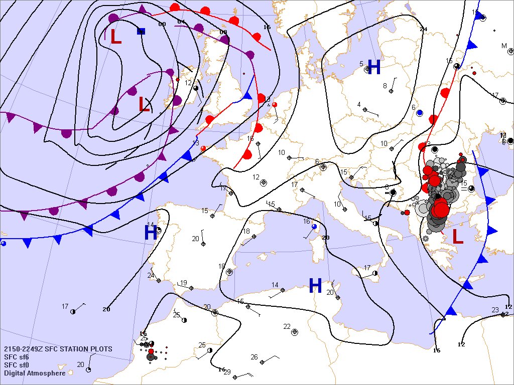
PLOTTING CHARTS. Displaying
station plots is a breeze with Digital Atmosphere.
For best results, generate a 1500 x 1159 pixel map, show the
station plots, and send it to your printer. The results:
professional quality maps for hand analysis.
|
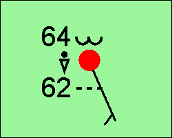
HIGH-QUALITY PLOTS. All weather
plots use Truetype fonts, giving superior output for journals and
publications. Plots are completely customizable with your
choice of font type and size.
|
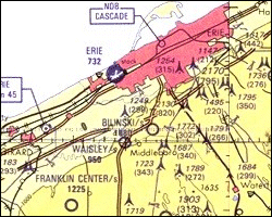
TOPOGRAPHIC MAPS. The Professional
Version comes with 600 MB of high-resolution topographic maps at
4 different scales. No more looking at county maps trying to figure
out where exactly the storm is.
|
ANALYSIS OPTIONS. Not only
can you select from 32 basic types of analysis fields, but
you can create your own using a special scripting language.
The analysis menu is fully editable!
|
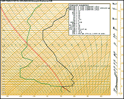
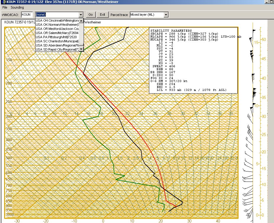
QUALITY SOUNDINGS. Our sounding
display is modelled after the high-quality paper versions of the 1970s.
You'll be able to dig into the soundings like never before.
And you get 20 stability indices to boot, with three different
parcel options (SB, ML, and MU).
|
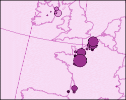
SFERICS DISPLAY. European users
will enjoy the Sferics lightning display, which covers all
of Europe and adjoining parts of Africa and Asia. A six-hour
colored trend is provided.
|
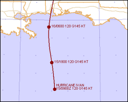
HURRICANE FORECASTING. Digital
Atmosphere plots hurricane and typhoon forecasts from NHC and JTWC.
Additionally it supports model output for the hurricane track
from NHC, GFDL, and UKMO. All information is easily retrieved
from government servers with just a couple of clicks!
|
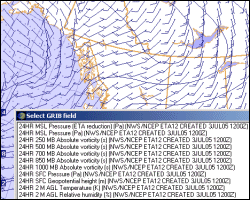
GRIB DISPLAY. Show forecast
model output from NCEP. Digital Atmosphere is no longer
limited to showing you current conditions!
|
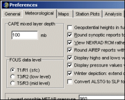
EXTENSIVE PREFERENCES. If you view
weather conditions at Internet web sites, you have no control over the maps. But with
Digital Atmosphere, you have full control over everything.
It all starts with this Preferences panel.
|
More examples (click to enlarge)
|