Page 1 of 5
DA WS Satellite images/Tropical Plots
Posted: Wed Jun 07, 2006 1:52 pm
by britbob
I`ve seen several examples of folks using satellite imagery as a background on their maps. Can someone explain how this can be in DAWS? and in not too technical terms!!
I`ve tried but seem to be failing miserably

Thanks.
Satellite images in DAWS
Posted: Wed Jun 07, 2006 9:56 pm
by Les
You need to use the program GroundMap to map NOAA satellite images to the same size and projection as your DAWS basemap.
See page 123 of the DAWS manual (manual.pdf) for details.
Les[/i][/b]
US Satellite Images?
Posted: Sat Jul 29, 2006 2:09 pm
by gkasica
1) Has anyone done the setup for the entire US? Is is possible?
2) Failing #1, has/can anyone give me regions of the US (ie NW, SW, NC, SC, NE, SE)
3) Failing #1 and #2 can someone give me the method used to do this and maybe I can produce and share this one I accomplish it??
I just don't see or understand enough here to see what you need to do to make it work....
Thanks,
Posted: Sat Jul 29, 2006 11:13 pm
by Wally Mayo
Oh yes, please, absolutely ... if anyone can do or has done ANY satellite pic combos with .dmf files, please share them. Wouldn't it be nice if we could create a library of these things.
The first info mentioned in pdf doc has email address out of date or bounced back.
I've tried taking some sat pics and manually trying to make a match with map create (lots of time here), but the satellite skew, looking north with increasing slant, just keeps anything from matching up. Plus, polar stereographic map creation in DAWS doesn't work (and it so far doesn't work in Fusion).
Has anyone made any fashion work??????
CEntral US Satellite Maps from Pat
Posted: Sat Jul 29, 2006 11:30 pm
by gkasica
Wally:
Here is a reply I got from Pat, he attached a file to me in personal e-mail as well, if you email me directly I could send it to you, it works beautifully for the Central US and Great Lakes area.:
George,
These will work with the satellite maps from the Naval Research Lab NexSat
site, and only work with DA WS not Fusion. Just load them as basemaps and
import the satellite image using import map.
To get the images:
http://www.nrlmry.navy.mil/nexsat_pages/
Click region/sector, then central. Basemaps are for the central US overview,
Great lakes and ModisAVHRR great lakes imagery.
Pat
Posted: Sat Jul 29, 2006 11:32 pm
by Weasel
Wally,
Which maps were you lookin' to get workin' in DA WS? If there is one from the Navy's research lab (NexSat) that interests you, I might be able to get it to fit in DA WS assuming it is a regional view.
Pat
Edit: I was writing at the same time George was posting :)
Posted: Sun Jul 30, 2006 9:55 am
by Fred
I did a quick check of my article in the manual and as far as I can see it's still valid. Only change is the address in the download, but I was immediately redirected to the new address.
Also the articles on the site of David Taylor are still there.
So give it a try. For testing you can use the freeware versions of HRPTReader and Groundmap. And you MUST use orthographic.
Another more easy way to use satellite images is to move to Europe. Meteosat send every 15 minutes images of Europe and Africa. Using GeoSatSignal from David Taylor results in an image that is easy to import in DAWS, all fully automatically. See some examples on my just started website
http://www.vandenbosch.speedlinq.nl/index.html. "Real-time" images will be there later.
Greetings
Fred
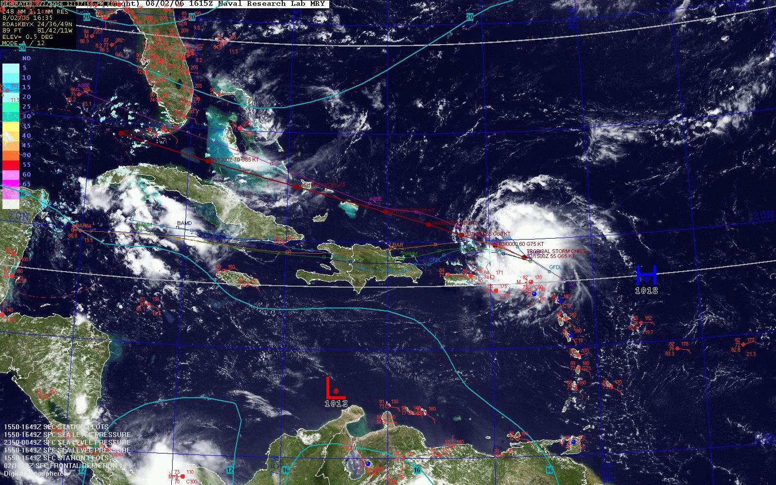
Posted: Wed Aug 02, 2006 5:21 pm
by Wally Mayo
Ok, once I found the Navy site, I "tweaked" several maps (US, tropics, east).
Here is a tropics overlay...
http://www.weatherroanoke.com/tropics.jpg
Still working out colors, though.
And, I would appreciate any other maps/combos!
Posted: Wed Aug 02, 2006 5:43 pm
by Fred
Looks good! Colours is indeed a problem. I have made a seperate style-file in DAWS: Images. I also generated some specific "satellite"-maps using the above style. In this way you don't mess up your normal images and you can experiment a lot with colours and layouts.
You can generate other maps based on the images you can download (see the manual).
Greetings
Fred
Posted: Wed Aug 02, 2006 6:38 pm
by wxforecaster
" wrote:Ok, once I found the Navy site, I "tweaked" several maps (US, tropics, east).
Here is a tropics overlay...
http://www.weatherroanoke.com/tropics.jpg
Still working out colors, though.
And, I would appreciate any other maps/combos!
Very nice map!!
Quick Question.... Where did you get the cords for all the hurricane models?? Thanks in advance Wally!!!! I bet everyone would love them!