I`ve tried but seem to be failing miserably
Thanks.
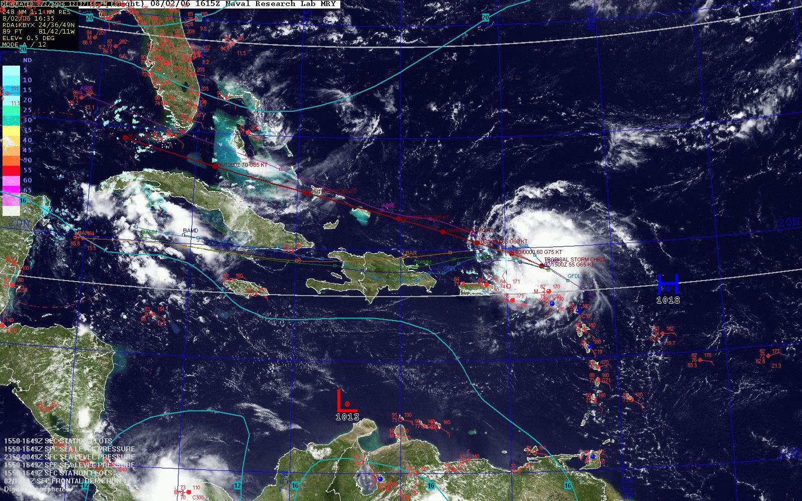
Very nice map!!" wrote:Ok, once I found the Navy site, I "tweaked" several maps (US, tropics, east).
Here is a tropics overlay...
http://www.weatherroanoke.com/tropics.jpg
Still working out colors, though.
And, I would appreciate any other maps/combos!