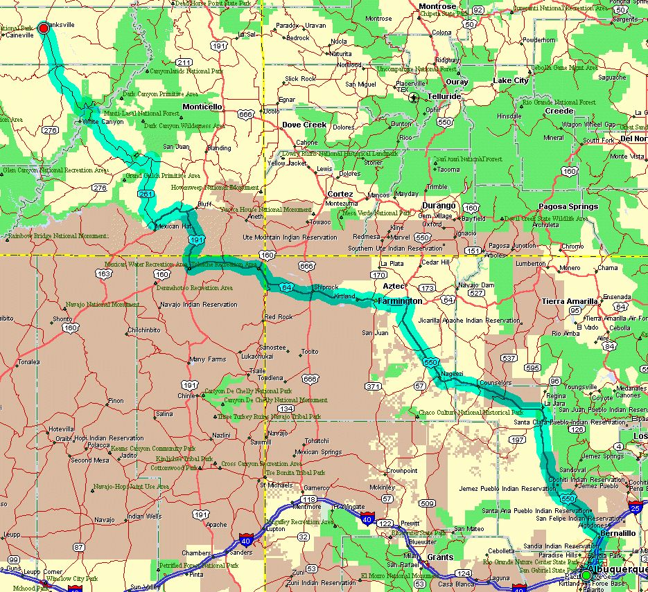
Today's route map. Click to enlarge.
Monday, June 25, 2001
Albuquerque NM - Hanksville UT
Today's route map. Click to enlarge.
|
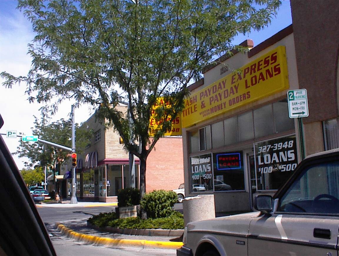
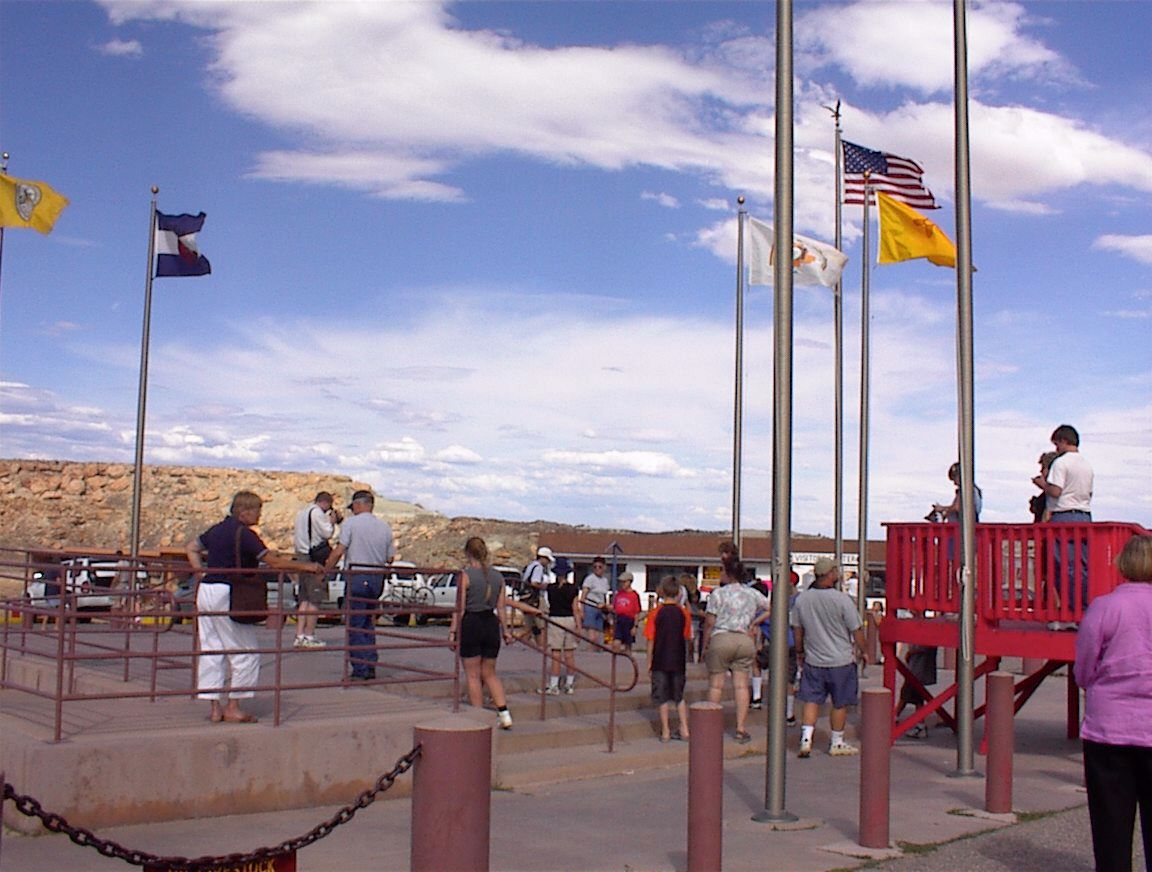
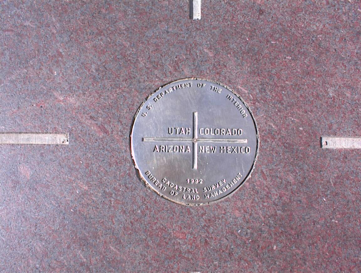
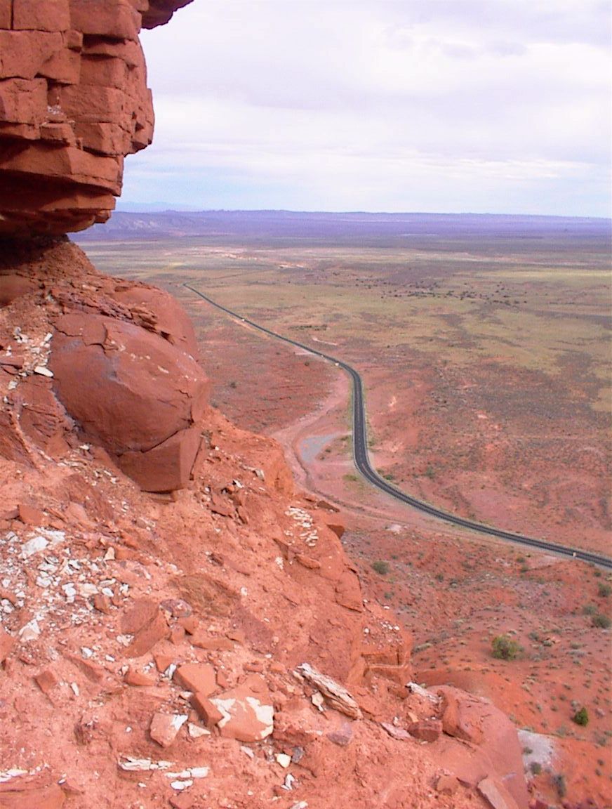
We slept in until 10:15 am and left Albuquerque around 10:55, stopping briefly at Einstein's Bagel and Starbucks for a quick breakfast. We then found our way to I-25, heading north out of Albuquerque through busy commuter traffic. We exited at Bernalillo and headed northwest on Hwy 44. Despite our best attempt to keep a positive attitude, the 150-mile stretch to Farmington was soured by the longest continuous construction zone I have ever seen in my life: 121 miles in length (yes, that's almost 2% of the Earth's diameter). This ran from San Ysidro to Bloomfield, with a brief break around the town of Cuba. The road was a neverending succession of torn up roads, hazardous stretches, 45 mph speed zones, and numerous construction vehicles, and towards the end I had to ask Shannon to take over so I could maintain my sanity. After this fiasco we will strive to avoid New Mexico at all costs! We made it to Farmington at 3:00 pm. The town seemed fairly run-down, and just to confirm my suspicions a 15-year old kid came up to me at the Conoco on the southeast side of town trying to sell me "something" for $3; when I looked closer I saw him and his friend were sitting on a grassy embankment scoping out the gas station and hitting up customers. Downtown was very pretty but filled with pawn shops, bridal shops, and loan shops. We saw lots of graffiti with the local word dine, whatever that means. We found a Wendy's on the northeast side, and after getting some lunch to go we pressed westward at 3 pm. We passed Shiprock, which had a police seatbelt & license checkpoint for westbound traffic. The first beautiful bit of scenery loomed just to the south, Shiprock Peak, which looked like one of H.P. Lovecraft's "damned Stygian spires" from the haunted cities of Antarctica. About 20 miles further, at 4:45 pm, we took a very short side trip to Four Corners National Monument, which contains a marker right on the boundary of Utah, Colorado, Arizona, and New Mexico. After paying $2 per person to get in we found the park saturated with vendor booths and overrun with tourists. It took me 2 minutes to get a 5-second snapshot. Shannon was watching from the car, and she said that it looked like we were all doing pagan rituals as each group quickly did their photography business. I was expecting Four Corners to be a little cheesy, but finding 30 vendors surrounding the monument it was a bit of overkill. I still couldn't help wondering that most folks, who probably couldn't find Vermont on a road map, flocked to this geographical confluence of artificial boundaries. I guess it's the unique experience of being in four states at once. My GPS seemed to insist the actual four corners was a mile to the north (even using the NAD 27 datum and accounting for the 2.5 minute meridian offset). Guess I'll have to figure that one out when I get home. After turning off the highway and heading north into Utah, the tourist and local population dwindled to almost nothing, and Utah unfolded into an incredible series of reddish and brownish mountainscapes that continued for nearly 50 miles. We were completely unprepared for the stunning drive on Hwy 261 past Valley of the Gods (north of Mexican Hat), which took the road straight towards a 1000-foot high cliff wall. Even though our GPS showed the road continuing northwestward, we could not understand how the road could possibly pass through or over this cliff! After passing several signs warning of a dangerous climb and restricting truck activity, the road began winding up the cliff in a series of staggering switchbacks, giving us incredible views of the valley. The climb was so steep and harrowing that Shannon's tension and nervousness went into full speed as she navigated the tight tuns. Within three miles we had ascended from the start of the climb at 5340 ft to 6450 ft at the top. The road broke out onto a plateau and we drove another 30 miles to Natural Bridges National Monument without seeing any traffic. This gave us an excellent chance to appreciate the scenery. Because it was getting close to 7:30 pm the large park was rather empty and deserted, so we had full reign of the 50-square mile park. We saw one of the huge arches in the canyon and took a few photos. We pressed on northwestward, winding through spectacular cliffs that were catching the setting sun with brilliant red colors. A suspension bridge arched over the Colorado River 112 ft above the waterline, and we stopped for a few more photos. We continued the remaining hour to check out the first major town along the way, where I topped off the over half-empty tank. Hanksville, which was actually quite tiny, had a few hotels we were able to choose from. We chose the Whispering Sands Motel. Tomorrow we head west and cross into Nevada, perhaps making the area around Area 51 or Tonopah by evening (providing the stretch through Utah doesn't take too long). Miles travelled: 458
Likes:
Dislikes:
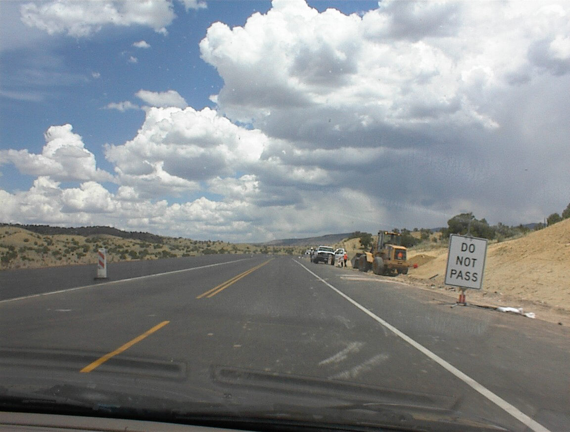
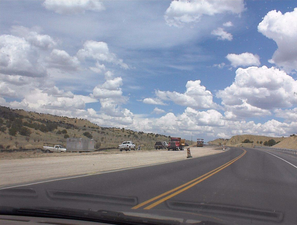
Starting on our drive into northwest New Mexico. Endless construction. 
Roadside cafe. And... construction barrels. 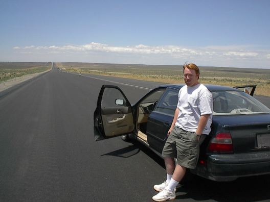
I finally had it with all the construction! I stopped right there and cooled my temper. (From Shannon) 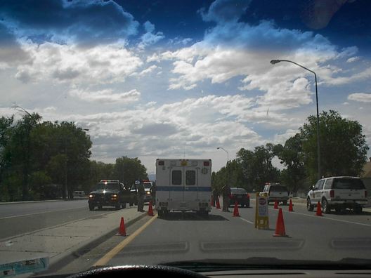
And what is this? More cones and -- I don't even know. This 200-mile stretch really sucked. (From Shannon) 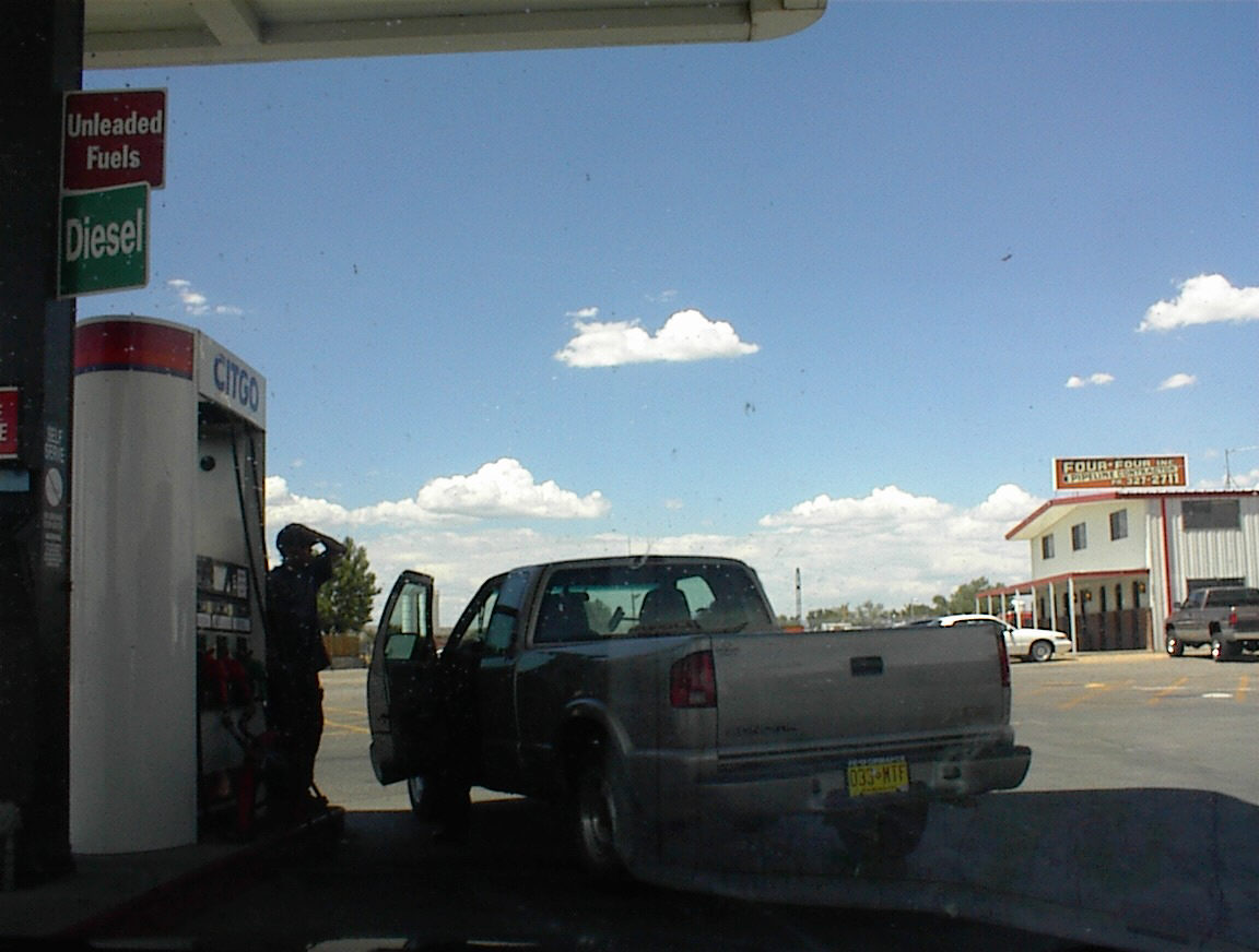
Scenery at the gas station in Farmington. 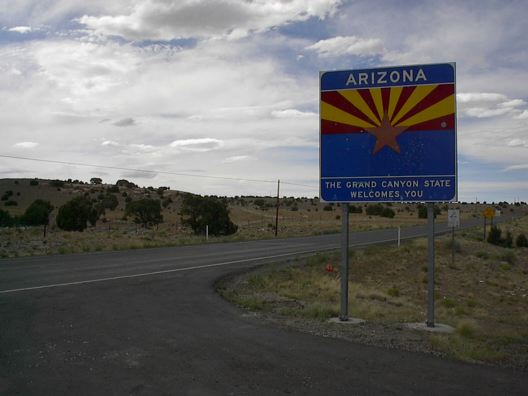
Finally entered into Arizona for a little while before looping back to the Four Corners monument. 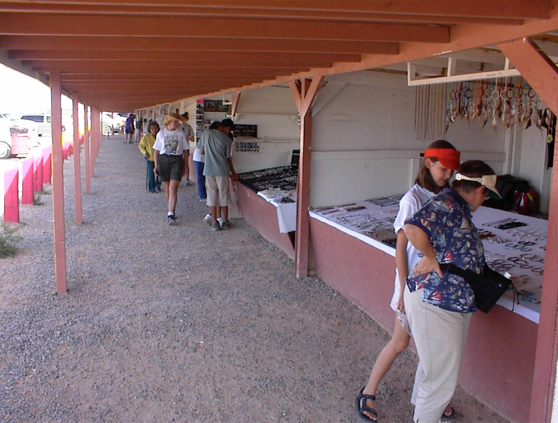
Souvenir shops at Four Corners. 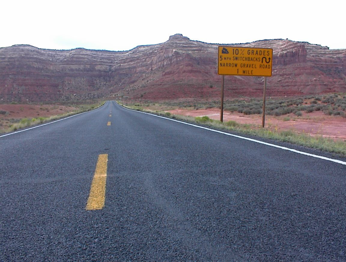
Getting into some serious terrain in southeast Utah. 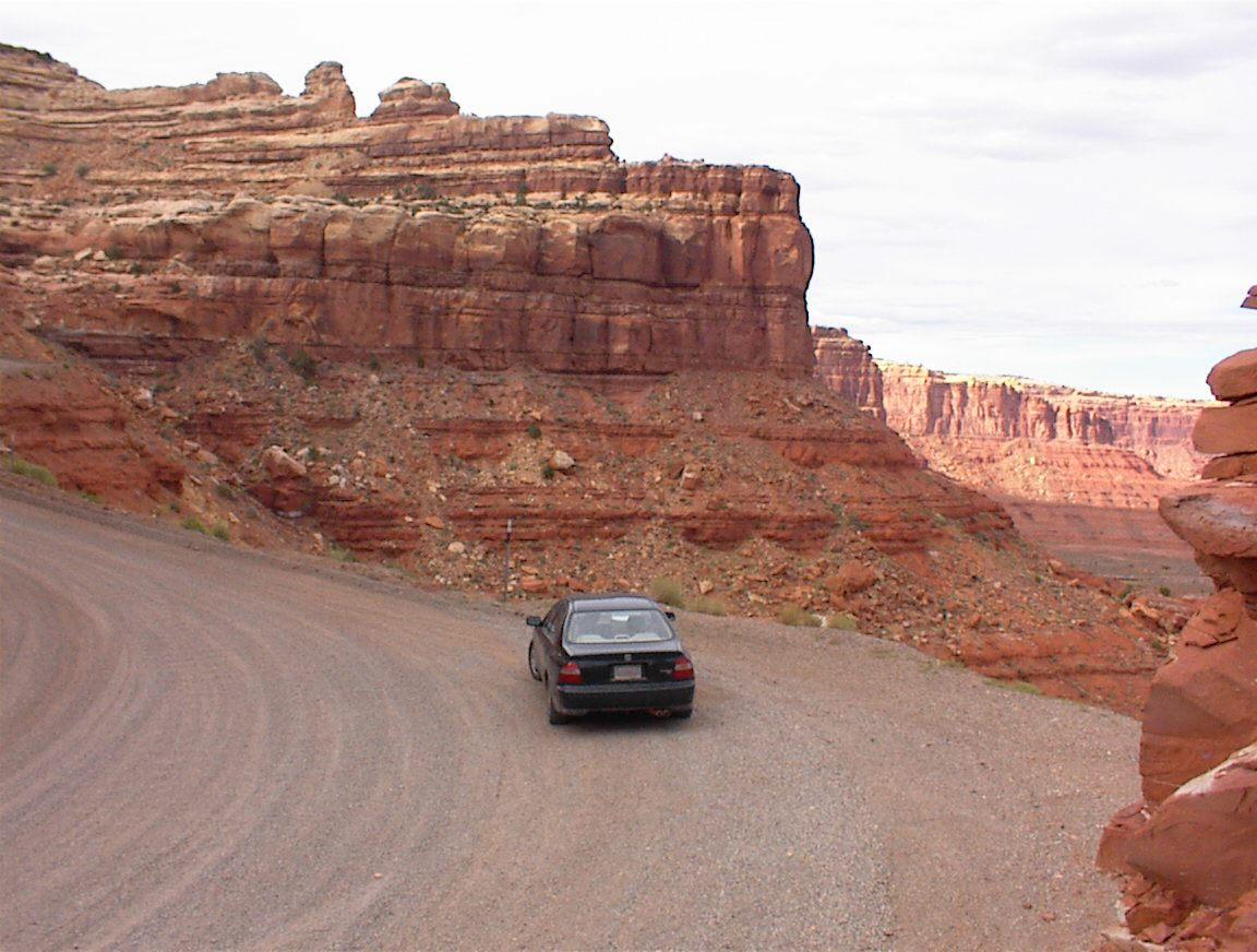
More scenery in southeast Utah. 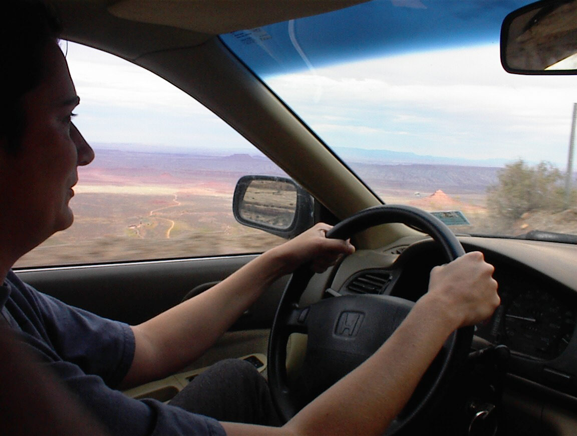
Definitely don't want to drive off the road here. You can see in the background how far down the drop is. 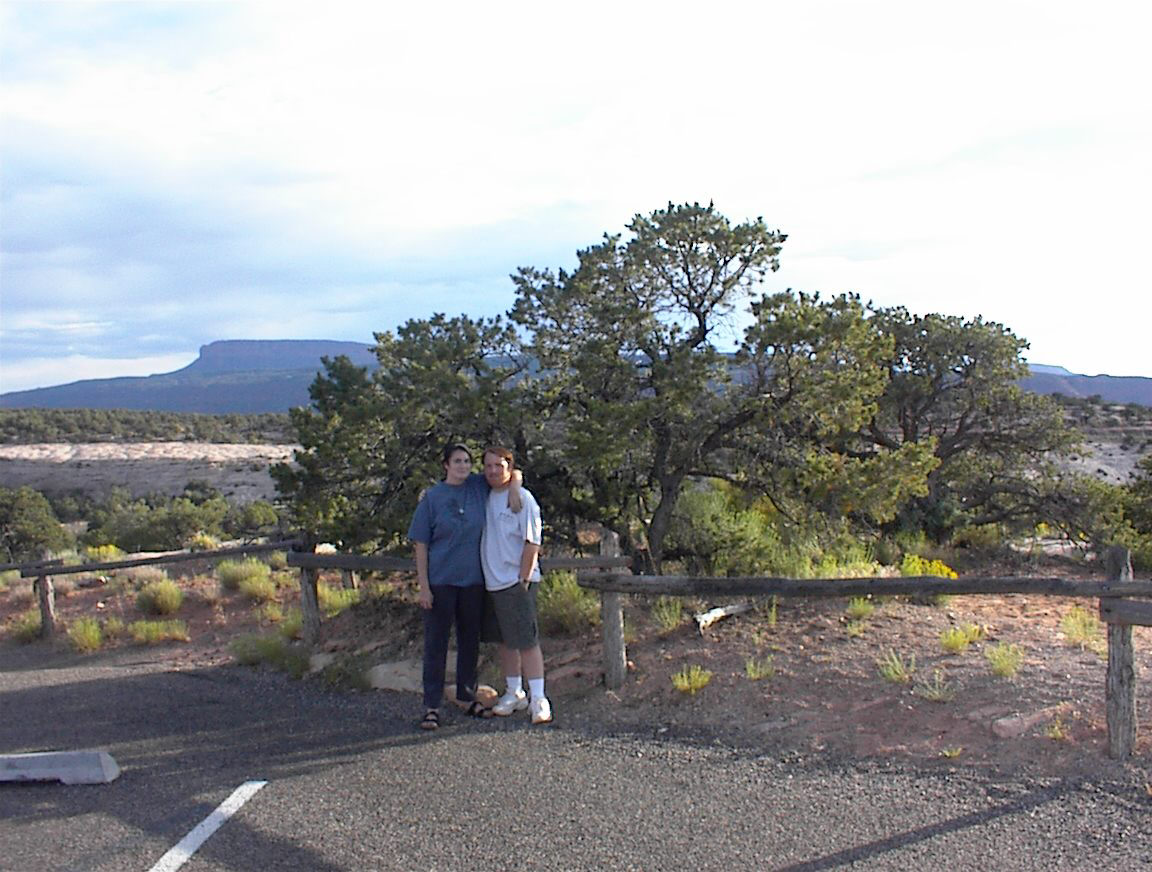
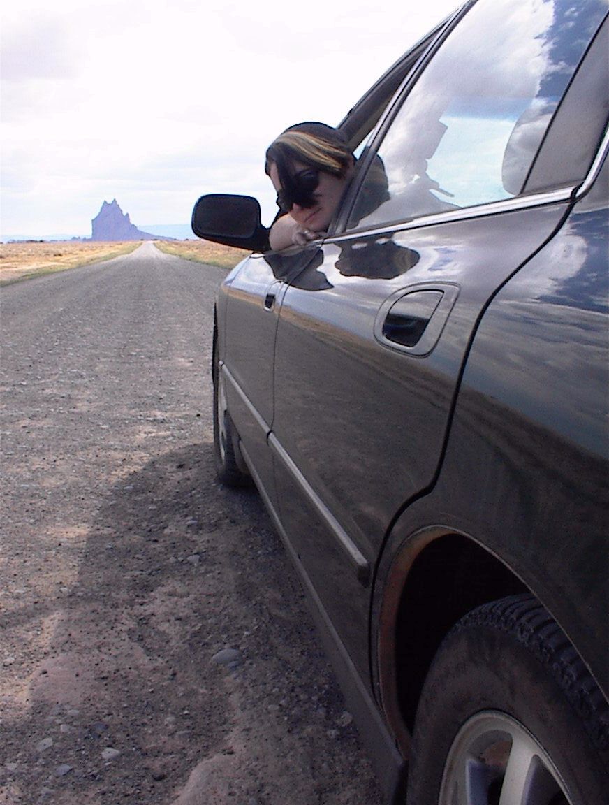
Picture time. 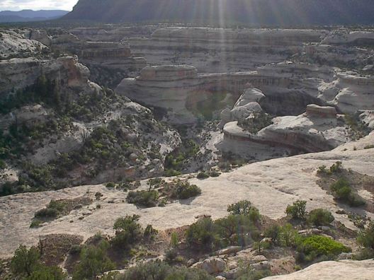
Scenery in southeast Utah somewhere. (from Shannon) 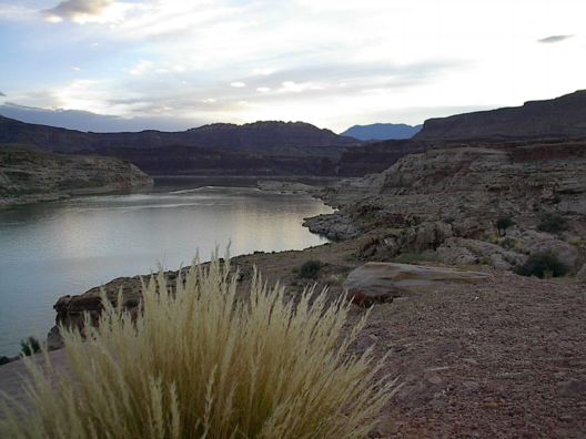
Not sure where exactly this was. (from Shannon) 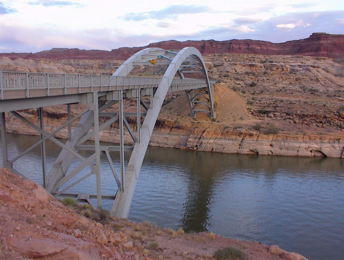
Crossing of the Colorado River 112 ft above the waterline. 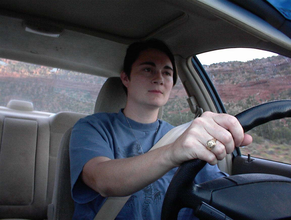
Weary as we finish off the last miles to Hanksville. 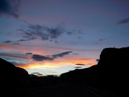
A beautiful sunset near the end of our drive. (from Shannon) 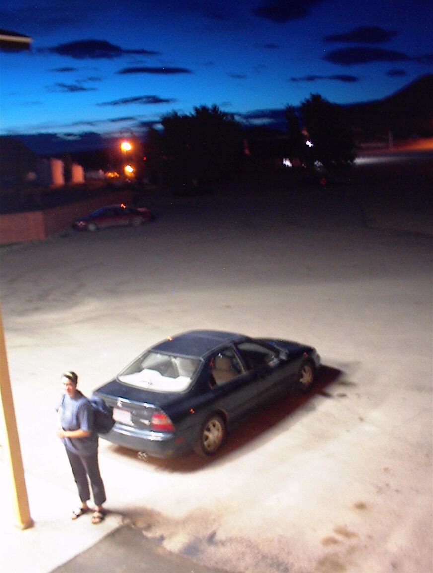
Weary and winding down at Hanksville UT. |
|