Weather Graphics Banner

Global Surface Archives

Global Surface Archives presents an unparalleled compilation of hourly and special METAR and SYNOP weather observations, plus decoded CSV data. This makes it the most extensive repository of its kind. This collection is a treasure trove for meteorologists, researchers, and weather enthusiasts, offering historical weather data that spans from January 1, 1930, to current (2024 and beyond). The data, stored in plaintext formats like SYNOP, METAR, and CSV, ensures easy accessibility and compatibility with common software tools, allowing for the plotting of historical charts anywhere in the world. Unlike complex binary datasets like the NCEP Reanalysis series, Global Surface Archives prioritizes user-friendliness and versatility. The plaintext format means that anyone can access and analyze the data using standard text editors or viewing software like Digital Atmosphere and MetPy.

» Click for more information or to purchase


Global Upper Archives

Global Upper Archives, presented by Weather Graphics, is the most comprehensive repository of WMO TEMP-formatted upper air weather data available today. This collection is designed for seamless integration with popular meteorological software such as Digital Atmosphere and RAOB, enabling users to effortlessly plot historical upper-air charts and soundings across the globe. The package covers an extensive range covering several decades. Much like Global Surface Archives, this collection avoids the complexity of formats like XML or JSON, opting instead for plaintext ASCII in the universally recognized TEMP format (TTAA/TTBB/PPBB). This choice ensures maximum compatibility and ease of use, allowing the data to be effortlessly incorporated into a wide range of meteorological programs, including Digital Atmosphere, MetPy, and GEMPAK.

» Click for more information or to purchase


Data By The Day

Weather Graphics "Data By The Day" service offers an expedited solution for accessing small ranges of customized weather data via Internet download. This service caters to those who require specific weather data without the need for comprehensive DVD archive sets, providing a convenient and rapid means of obtaining historical weather information. The collection encompasses a wide range of data types including SYNOP, METAR, upper air data, and centralized NCEP charts such as DIFAX images. NCEP data goes back to about 2003 with limited NCEP charts into the mid-1990s. You will receive whatever we have been able to acquire.

» Click for more information or to purchase

ARGON

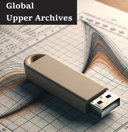
ARGON is a historical weather database tailored for industries such as insurance, universities, research, aviation, and energy services. Spanning records from 1930 to the present date, ARGON is housed on an USB external hard drive, boasting billions of crucial North American weather records. Designed with the needs of businesses and academic institutions in mind, ARGON facilitates on-demand access to a comprehensive weather history, enabling detailed statistical analyses, identification of weather extremes, and extraction of averages and frequencies. Leveraging the robust capabilities of MySQL, ARGON allows users to effortlessly export data in both METAR and spreadsheet formats. The data is meticulously unified into a common format, searchable by various identifiers including latitude/longitude and ICAO codes, ensuring seamless integration into diverse projects. ARGON is not just a database; it's a comprehensive tool that transforms the way weather data is accessed and analyzed, making it an indispensable asset for professionals across multiple sectors who rely on accurate historical weather information.

» Click for more information or to purchase


Master Location Identifier Database (MLID)

Our weather station identifier project (MLID) meticulously sources weather station identifiers from authoritative entities such as the ICAO, FAA, Transport Canada, NWS, and WMO, ensuring accuracy by rectifying any discrepancies from primary sources and historical assignments. The MLID project is the end result of thousands of hours of dedicated work. We offer both a free Standard Version download for non-commercial use and a Professional Version for broader applications requiring greater information or for commercial use. The MLID caters to the diverse needs of the meteorology community, constantly updated to maintain the highest standards of data integrity.

» Click for more information or to purchase


Climate data

Climate and temperature extremes represent some of the most pressing environmental challenges, with far-reaching implications for ecosystems, human health, agriculture, and global economies. Weather Graphics makes subsets of useful climate information available:

» * Climate extremes by station, 1800-2019, text table (572 KB)

» * Climate extremes by station, 1970-2019, text table (527 KB)